Broad agency
announcement
IARPA Seeking Information on Ways to Improve IC Imagery Capabilities
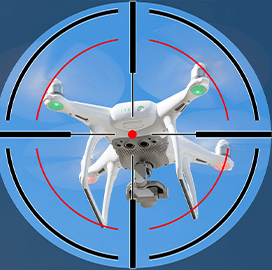
The Intelligence Advanced Research Projects Activity, in partnership with the Department of the Interior, has issued a broad agency announcement calling for software systems that can enhance the Intelligence Community’s surveillance imagery capabilities.

The BAA is for the Walkthrough Renderings for Imagery of Varying Altitudes project, which aims to make the IC’s imaging more realistic. To achieve this vision, IARPA is seeking data that would be used to support imagery-related research and development.
Information would then be used to develop technologies that can be used by relevant officials to get familiar with specific locations. The platform should ideally improve first response training, planning and modeling, FCW reported Thursday.
According to WRIVA program manager Ashwini Deshpande, the initiative is designed to combine imagery collected from various altitudes and viewpoints to create a virtual environment that would emulate locations that can be difficult to access. Deshpande said the technology could help first responders deliver essentials like life-saving aid while minimizing exposure to risks.
Adam Norige, the lead official for the WRIVA program at the Massachusetts Institute of Technology Lincoln Laboratories, said imagery data can be merged with other technologies, such as virtual reality. According to Norige, using VR will allow first responders to be more agile and make the U.S. disaster relief sector more effective.
The WRIVA research program is expected to start in the fall and last for 42 months. Interested parties can submit research proposals until Aug. 5. IARPA will accept questions until July 11.
Category: Future Trends